![]() |
| Fred C and Jon J on launch |
![]() |
| Fred @ Jon out front Matt D a little higher. |
![]() |
| Matt in front of St. Helena. Launch in right of photo. |
![]() |
| Fred C and Jon J on launch |
![]() |
| Fred @ Jon out front Matt D a little higher. |
![]() |
| Matt in front of St. Helena. Launch in right of photo. |
![]() |
| Looking West from over St. Helena at cloud base |
![]() |
| Toward Berryessa from over St. Helena |
![]() |
| Over Pallisades looking East to Lake Berryessa |
![]() |
| Sail Plane flyby at Mt. St. Helena |
![]() |
| Over the Pallisades looking back to Mt. St. Helena |
![]() |
| Sedona looking north to Mt. Elden and Flagstaff |
![]() |
| A little run starts the fun !! |
![]() |
| Over launch with tram to right of photo. |
![]() |
| Cloudbase 12'500. |
![]() |
| High Mt. Lake looking south from base. |
![]() |
| Beautiful Mountains! |
![]() |
| Wallowa Valley @ Lake |
![]() |
| Wallowa Lake and Wilderness Area |
![]() |
| Joseph with Wallowa Lake behind. |
![]() |
| Streamer drop for wind direction on ground. |
![]() |
| Putting on the brakes. |
![]() |
| New houses on old driving range east of town. Sweet flight!! Here's the video: https://www.youtube.com/watch?v=zoOSazNFSOM |
![]() |
| Lake Almanor and Lassen Peak in distance. Camp Clement just below me. |
![]() |
| 13600' looking SE. Nice cloudstreet toward Reno |
![]() |
| Over Mt. Hough Quincy Valley in front of me. Sierra Valley in distance under keel. A site record day. |
![]() |
| Crystal Lake, Round Valley Reservoir and Lake Almanor. Over Hough Mt. |
![]() |
| Meyers LZ. Bob and Ryan below next to Bobs Atos VQ. A great weekend of flying at Indian Valley |
![]() |
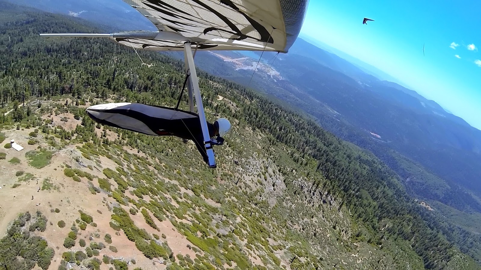
| Hull Mt. Timberline Launch. Lake Pillsbury. Todd in front of me |
![]() |
| Todd and sailplane. |
![]() |
| Hull Mt. launch. |
![]() |
| Ramy was that you? |
![]() |
| 10600' cloudbase at Hull Mt. looking east to Central Vly |
![]() |
| Hull Mt. from near San Hedrin Ridge. Todd and I got spanked in nasty converging air masses. |
![]() |
| Cumys forming in convergence lift toward Potter Vly NW wind meeting SW moister marine air. Let's see where it goes. |
![]() |
| San Hedrin Ridge heading for Potter Vly. Lake Pillsbury, St. John Mt. |
![]() |
| Eel Rvr diversion dam just before Potter Vly. Cumys forming on Cow Mt. to south decided my course. |
![]() |
| 7500' in convergence lift over Potter Vly. Clearlake in distance |
![]() |
| Lake Mendocino, Ukiah. Climbing on Cow Mt. Ridge |
![]() |
| Cow Mt. Clearlake |
![]() |
| Clear Lake, Lakeport, Mt. Konocti |
![]() |
| 8300' at Hopland Grade Rd. Glided to Cloverdale from here into the marine air and south wind. River is just beyond ridge on right of photo in distance. |
| Cloverdale River Park 4blocks from downtown. |
| Russian River at Cloverdale 48 miles, soaked my feet and walked to the brew pub downtown for refreshments. Fun day. |