Tales and Images from my point of view, Enjoy!
( click on images to enlarge)

Thursday, July 23, 2020

Owens Valley Personal Best Flight

66 yrs. young. Can this body still push the limits of endurance and effort. A trip to the Mecca of hang gliding is a good way to find out.

Willy Dydo who is 35 yrs. my junior at 31 has similar drive and the same (Go For It) attitude so we make good flying brothers.

The weather looked promising with a low pressure system parked over the state, bringing in instability and cloud streets marking lift.

Some para glider pilots show up also so Willy hooks up with them for the first day of flying on Wed the 15th of July.

I drove down the day before and decide to rest up this day as I want to be completely fully charged for Thursday which I figured would be the best day of the week.

Wed. over develops and nobody goes real far maybe 65, 70 miles.

That night Jay comes up to drive for us so we are good to go long the next day if conditions warrant.

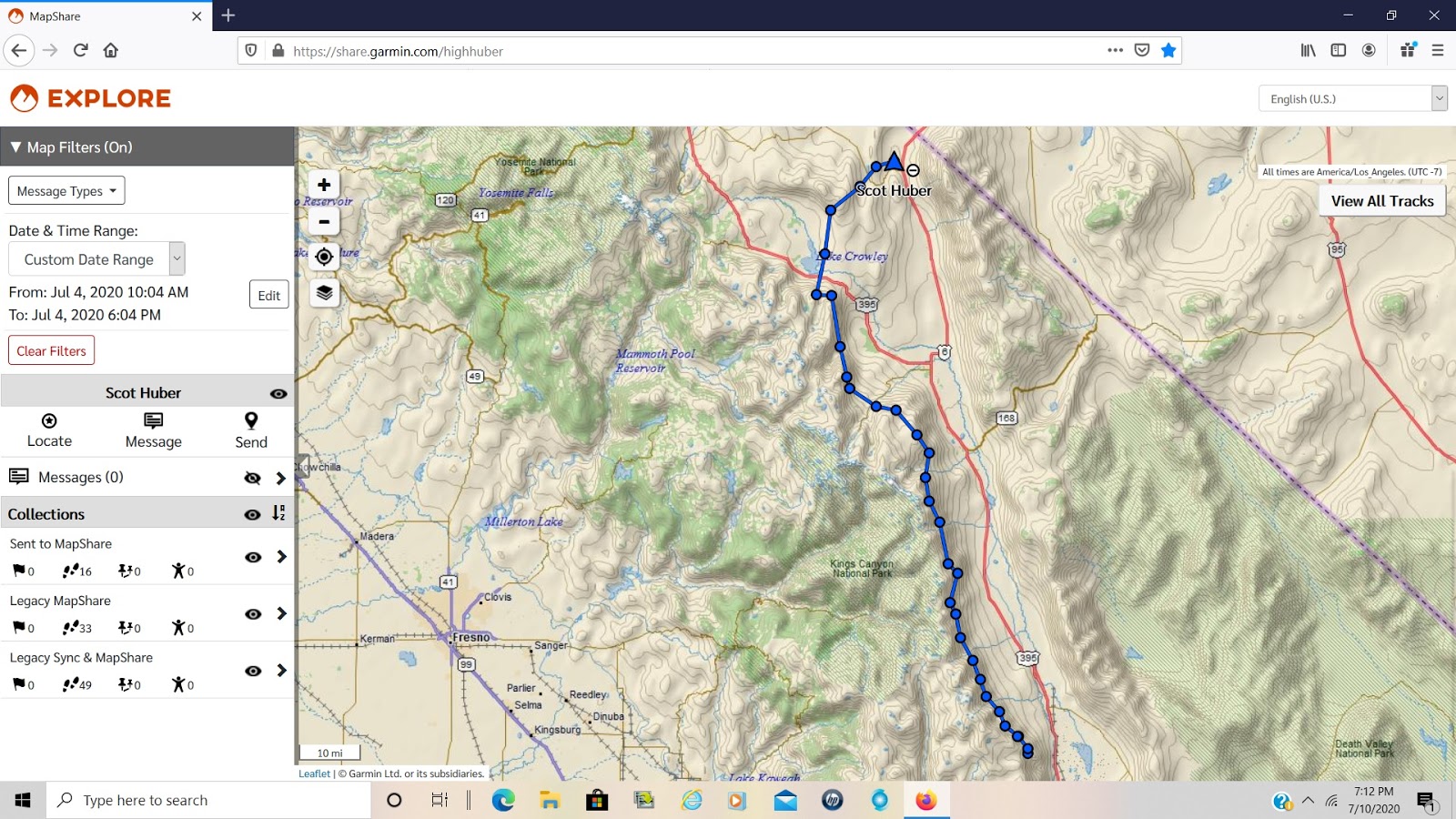
It's not particularly a good day of flying for the Owens Valley and after crossing low to near Flynns launch east of Bishop I can't hook into enough to keep me airborne so land after 70 miles. Eric,  one of the para gliders makes it over the Whites and lands a few miles north of Basalt for around 110 or so. Willy got flushed off the Sierras early, getting maybe 40 miles.

Friday the 17th feels very similar to the day before.  Reavis Sutphin-Gray joins us for it. He is pushing his limits on his Enzo3 para glider going for a 200 miler. I feel this day has a lot of potential if we can just get out of the Owens Valley of California and into the outback of Nevada. The Sierras have been over developing every afternoon so being in Nevada out of the Owens gives more opportunities to avoid OD, and continue flying.

The beginning of the day is very similar to the day before, good enough lift to progress down the range but not a lot of altitude to go fast.


 Mt. Whitney, highest point in the continental US.


Looking north up the Owens Valley from same area. Burn scar is from a couple years ago when the TFR (temporary flight restriction) shut us down.

Willy pushes hard again and is soon scratching low with little options. He will be on the ground before Big Pine.

Reavis, Carter Crowe,on para gliders, and I are playing it patiently making similar progress.  Eric the other para glider who went long the day before falls behind us. The para gliders have excellent sink rates and seem to float along like soap bubbles in a breeze.

They climb out at Tinnemaha Mt. and begin their crossing of the valley to the White Mts. but soon abort and come back. I missed the climb there and continue to Birch Mt. a mile further. We are soon all scratching along the lower hills north of Birch.

I have flown this line many times so when we don't find anything real good I blow across the canyon at Big Pine Creek to an area I usually skyout in and leave them behind.

I climb to 13300 ft. at Round Mt. and decide to cross to the Whites. A similar line as the day before in similar conditions,but a little higher.  SE winds around 18 blowing in the valley, and I am losing altitude quickly.

Not wanting to repeat yesterdays outcome, when I hit some lift just SE of Bishop I decide to keep turning in it, aborting the crossing.  I'm slowly climbing and drifting NW up toward the Owens River.

The Volcanic Tablelands from the Glass Mts. begin rising just north of the river and the lift typically gets better in this area.  I push hard up and over it getting down to 6000' before hooking into something solid.  Yeeha, I rope that thermal and ride it up a few grand and continue on.

Everyone else made the jump and eventually land along the base of the Whites. Reavis getting the farthest, landing about where I did the day before.

The winds begin shifting to SW as I get up near Chidago Canyon Rd. So I go with it toward the north end of the White Mts. Coming in on the SW flanks of Mt. Dubois at Queen Dicks Canyon.

I climb to 15800' or so and report back I have the altitude and am soon to be heading out into Nevada.

Willy, Carter and Eric are left at the park in Bishop, and Reavis and Jay are on chase after me shortly. I can see the SE winds are pushing the clouds over the tops of the Whites so I play it cautious skirting around Montgomery Peak and cross to the north side where I usually find abundant lift.  Clouds are forming in the area and I beam up when I get there.


Here's a great shot looking south, White Mts. on left, Owens Valley, Glass Mts right, with Sierras behind over developing.


Mono Lake and the Sierras with OD building


 Walker Lake to the NW. Excelsior Mts in middle, with Marietta Mines area below my wing tip. I continue on the path my wire is aligned with.  I'm in a convergence zone, two different wind directions, in this case SE and SW coming together which creates an uplifting air mass. That may sound religious to you, we as pilots looking for the eternal high are always elated when we can enjoy the heights along these areas of the sky.  The cloud streets are setting up showing me the way and no priests are there telling me to follow them, just a passion for flight and a desire to remain, tasting the sky.


 Last look at the Whites, before heading north.

I follow the streets of clouds to the Gillis Range east of Hawthorne.  A sky junkies dream come true. A south tail wind pushing me along, between 13 and 18k.  There are areas of virga in the clouds to my west as they build and I am running fast trying to stay ahead of it as they move out into Nevada.

Up near the Rawhide Mine area at 175 miles out the shading from the cloud street has become 100%. I hit an area of sink so bail to the sun soaked ground to the east of the mine. Unzipped and looking for a good place to land I push it into a bowl area that looks promising for thermal development.  I find one and crank and bank back to 16000' ft. Alright, another helping of sky time is mine.

Reavis and Jay are in Gabbs and I send them up to hwy 50 where they tank up at Middlegate on snacks and gas.

I head for Fairview Peak more NE as the shading on my path north doesn't look good.  Find a liitle lift there, nothing solid so move across Hwy 50 to the Clan Alpine Mts. southern flanks.

Get low for a bit but find lift and massage it up to about 10k. There is a dying storm to my east on the Desatoya Mts. that is still pumping out some virga, but also lift along its western edge. With clouds forming under it.

I'm at 206 miles out and topping up at 13k when my flight instrument completely shuts off, out of power.  Bummer.  It's approaching 7pm anyway, there are no clouds over the northern higher reaches of the Clan Alpines where I was intending to go.  I know the site record flight I wanted is going to allude me this day but my personal best has already been broken and the day was fantastic. I have no regrets.  I glide into the Edwards Creek Valley and land gently at the Clan Alpine Ranch. 212.25 miles from launch at 7:11. 9 hrs. of skytime.


Looking ENE maybe 45 mns. after landing.  New Pass Peak in left distance. Reavis says the para gliders have been flying it..... Well  maybe someday!!


The northern portion of my track.

Saturday, July 11, 2020

Independence Day Flight Report 2020, Walt's Point CA.

A fun extended weekend trip to the Owens over the 4th of July.  Not a  great forecast for epic conditions, just a let's go and see what we get, and have a good time trip.

Willy Dydo and his buddy Jay to drive and Darren, and another pilot from the Reno area and myself made up the crew.  I drove down Thursday the second and we all flew Friday.  Not very good conditions at all.  I was the only one to make it to Lone Pine airport, which is only 8.75 miles from launch.

Willy was flying his Alpha training glider and Darren was on a Falcon, Willy landed at the Pheasant Club LZ off Horseshoe Meadows Rd and Darren at the bailout at the foot of the Sierras a couple miles short of it. The other pilot who's name I forgot also landed in that area.

I hadn't gotten a lot of sleep the night before, after driving down that day so wasn't really looking to go long anyway.

The next day was the 4th of July and after a good nights rest we gave it another try.  Willy, Darren and myself with Jay driving. The other pilot left to go home after his flight the day before.

Willy decided to fly his T2C 136 and try for a out and return flight. It didn't look like a record day to me so I wasn't expecting anything great, but being in the Owens Valley you never know what the day could turn into as conditions can change quickly.  Here's the pics and story of how it unfolded.


Walts Point launch. A few other pilots from the Reno area showed up also.


Darrens Falcon. Mark from Reno's T2C. A Moyes RX Pro, behind my Laminar. Willys T2C, and Spike's rig and T2C with the bag still on it.  Mark's launch got out of shape quickly I guess. I had already left the area. He stalled his right wing, clipped a bush, turned 170 degrees and pancaked below launch a hundred ft. or so. He was unhurt but the wing took some damage. I heard later he had the nose high and didn't point it down the slope and get it moving before leaving the ground. An expensive lesson.

Willy tagged Bartlett for his out and return while I was still trying to get some altitude to continue down the range. He continued up the range toward Whitney Portal low while I patiently waited for the day to turn on.  It was slow in starting but I was able to maintain around 10k as Willy got ahead of me about ten miles.  My glider is small by design, 13.2 meters/sq. or 142.5 sq/ft. It's not a 50 to a 100ft up per minute climb beast. I got it specifically to break the Walts Point, open distance site record, in big conditions which the Owens Valley is famous for.  

Once conditions hit 300fpm it climbs great, when they are 1000/fpm it truly shines because with my weight on it, I hook in around 230lbs. it's easily controllable.  I can thermal it with full VG but usually let it off to half or a quarter for most thermals. If they are ratty and turbulent I let it off all the way and rock up and let it do it's thing with minimal inputs, take a drink of water and listen to the vario sing its song as I rocket skyward.  

When it comes time to glide between thermals I pull full VG (variable geometry) for those who don't know the term.  Our gliders have a central cross bar inside the sail, which connects to both leading edges of the wing.  Pulling the cord straightens this cross bar where it is hinged in the middle and pushes the leading edges forward, tightening the sail.  The gliders performance is greatly improved by doing this, but it's handling suffers some what.  We launch and land with just a bit of VG on for the best roll control and a good flare break when we come in to land.  Most beginning gliders have no VG to mess with. But once you know the basics and want to put down some miles you move up to one that does.  You can see this cord in a lot of Youtube videos. My channel is here https://www.youtube.com/user/highhuber  if your interested. Some of the videos have the music silenced out due to property claims, but most of them still have it.


Willy made it across the valley to Black Mt. eventually after reporting himself real low near the volcanic cinder cone in the middle.  I was on course maybe 15 miles behind him at this point not getting real high, barely breaking 12k, or 12,000ft. which is low for crossing the valley.  The winds were holding SE fairly lite and there were no clouds marking lift anywhere. Just a stable mediocre day in the Owens Valley for putting down some miles.  I decided to just hang on the Sierras and continue up toward Crowley Lake, which you can see here in the pic. Hwy 395 follows along their base all the way to Reno and beyond. Willy had landed at this point in Hammil at the base of White Mt for 80 miles beside hwy 6 north of Bishop. 

 I'm at about 80 miles out here and thought I would just keep heading for Mammoth Mt. which you can see in the far left of the pic, just before the snowy mts. in the background which are the Ritter Range. Mono Lake can be seen in the right distance above Lake Crowley on the other side of the Glass Mt.s  Yosemite Valley is behind the Ritter Range to the West. I had never flown this direction before from Walts, and this was why I did so. Just to try a new route seeing as how the site records were safe from our endeavors on this day, due to the poor conditions.

Darren landed his Falcon in the bailout again and Jay reported he was taking him back to launch for a reflight. That had been a few hours ago and we had not heard from him. Willy and I had talked a few times, he knew where I was headed and I knew where he had landed. We are both using InReach sattelite  transmitters so Jay can easily keep track of us with his smart phone, as long as he has cell phone coverage.  No worries of being found at the end of a long day.


This is looking back at Bishop CA. from the same spot. Black Mt. in the left middle distance behind Bishop.  I'm getting high here, topping out at 16.3k and encountering the SW winds blowing over the Sierras.


Looking south into the beautiful Sierra back country.  Same location as I top up. Red Mt. below, Hilton Lakes center right. Rock Creek Rd. and lake left. 


Looking out across Crowley Lake to the Glass Mts.  I have flown them and flown over them before so with the SW winds blowing me off the Sierras, I decide to fly over there, get high and reconnect with Hwy 6 near Benton.  As I am crossing the ground winds turn on and big wind lines form on Crowley Lake from the west. I'm flying above most of it but know when I hit the Glass Mts. I will probably get some good ridge lift to work along with thermals to top out over them with enough altitude to glide over to the north end of the Owens Vly near Benton. The pic is a little tilted but you can figure it out.


I did just that. Got to around 13k on the Glass Mts. bailed over the back and landed near here after not finding much else. That's Montgomery Peak in the background. North end of Benton in the right distance. A fun day flying for almost 6hrs. and covering 96 straight line miles. The guys got to me as I packed up. We had dinner in Bishop at Whiskey Creek restaurant and caught the fire works in Independence Ca. on the way back to camp.  No other way I can think of social distancing even comes close. Find your passion and follow it, that's my advice.


My InReach track Log. Check it here on any given day and follow along on my flights. It is uploaded almost real time but is about ten minutes behind. click on the blue dots and hit (more) for altitude and speed and location.  https://share.garmin.com/highhuber   Use the Map Filters on the left to view specific dates, or the last seven flights or whatever. Hit View All Tracks to see them all.